HOME · DESTINATIONS
Four places, and the road between them
Uluṟu, Kata Tjuṯa, Kings Canyon and Alice Springs carry almost every Red Centre trip. The driving between them shapes the itinerary more than anything else.
the rock
Uluṟu
A single sandstone mass you circle rather than climb, inside Uluṟu-Kata Tjuṯa National Park on Aṉangu land. The climb is closed and several areas are signed as sacred sites where photography is restricted — the signage tells you where.
many heads
Kata Tjuṯa
A group of domes west of Uluṟu, walked between rather than around. Gorge walls hold shade and funnel wind, which makes the same forecast feel different here.
watarrka
Kings Canyon
Rim and gorge country in Watarrka National Park, roughly halfway between Uluṟu and Alice Springs. Sheer walls, exposed rim walking and shaded pockets where water lingers.
mparntwe
Alice Springs
The town most Red Centre trips begin or end in, set among the MacDonnell Ranges — different country again, with gaps and gorges cut through the ranges either side.
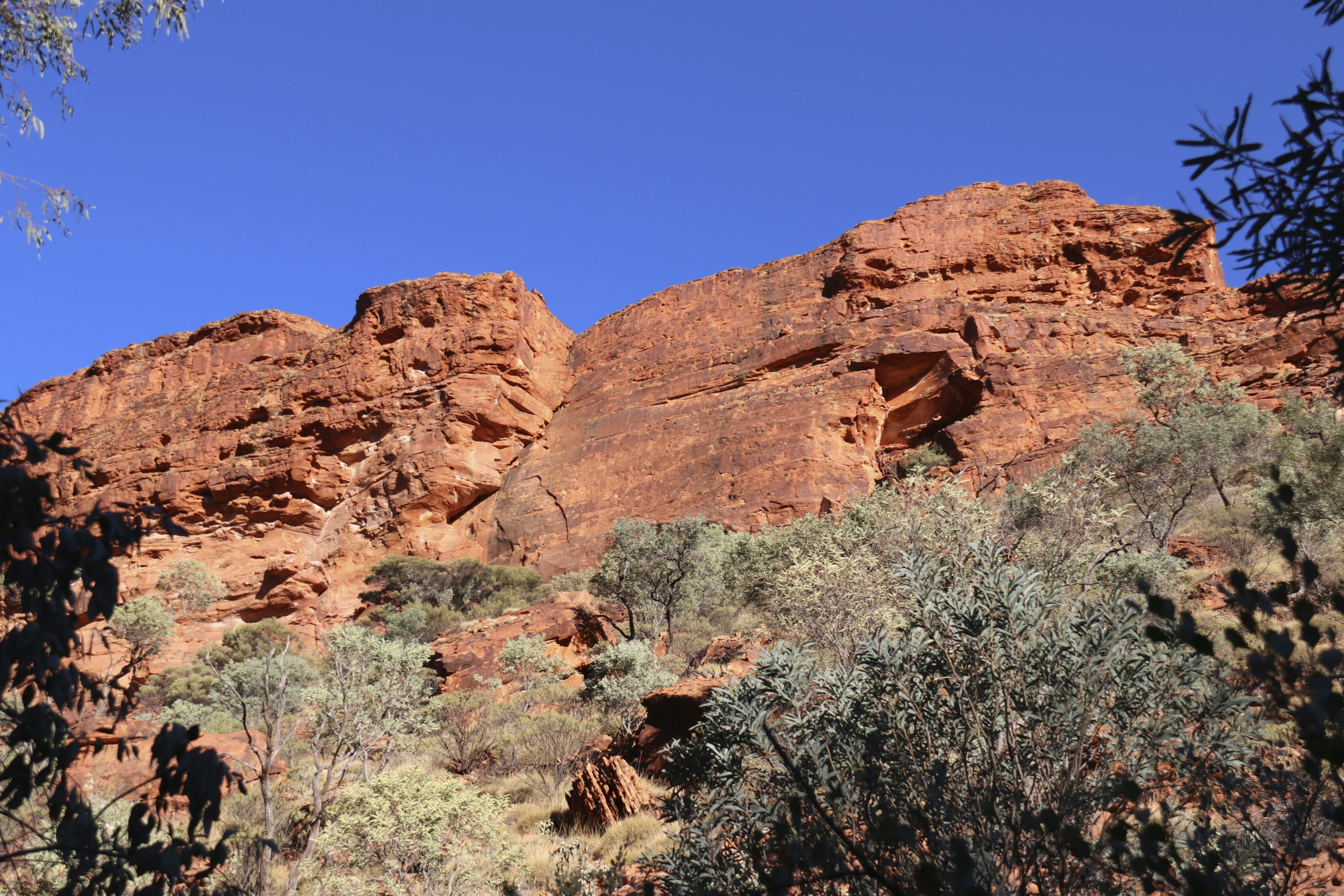
Range country between the parks — the kind of ground you cross for hours on the long routes.
Getting around the Red Centre
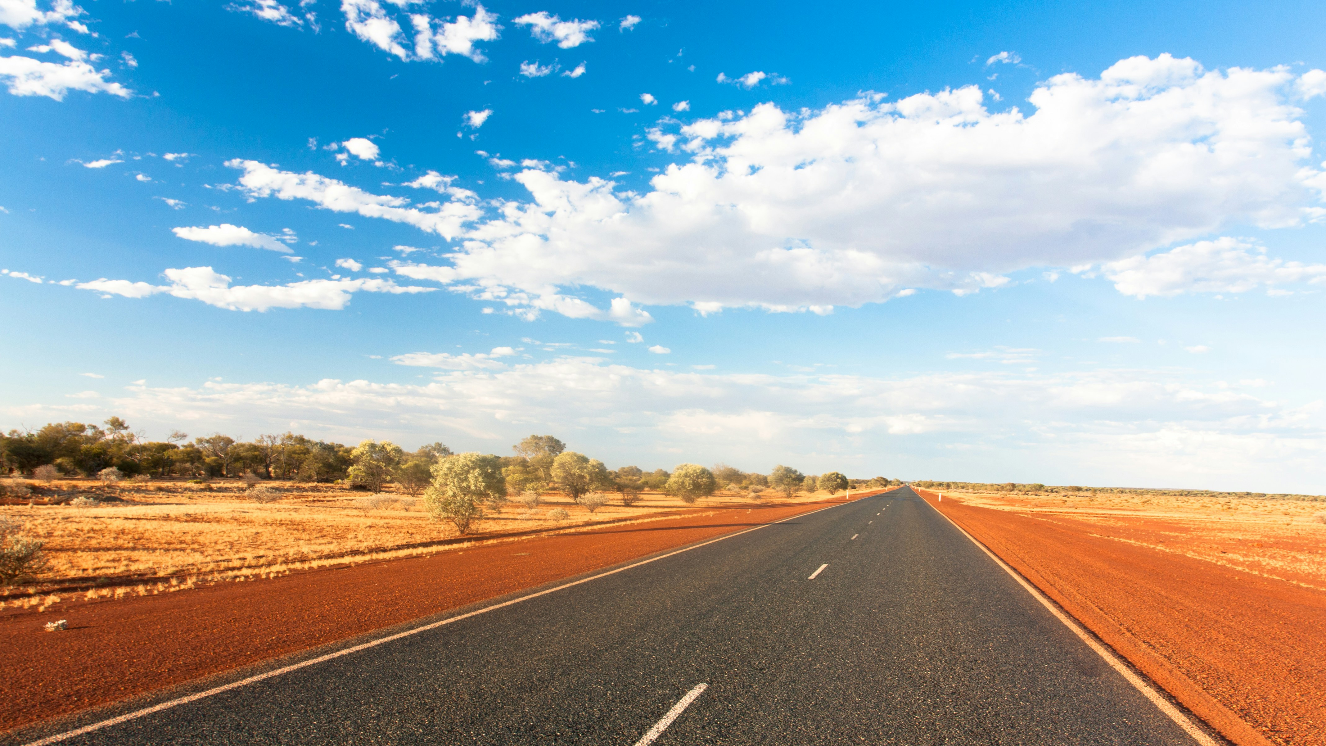
These places sit hours apart on sealed highway with long gaps between services. Fuel where you can, watch for wildlife around dawn and dusk, and don’t plan to arrive somewhere as the light goes.
Because the distances are fixed, the honest way to choose an itinerary is to count nights first. One night keeps you at Uluṟu. Two adds Kata Tjuṯa properly. Three or more opens Kings Canyon and the run to Alice Springs.
Work out the route with us
Tell us how many nights you have and where you fly in and out. The rest usually follows on its own.
Uluṟu, Kata Tjuṯa, Kings Canyon and Alice Springs — kept as a working almanac.
DESTINATIONS
CONTACT
Contact and booking
ulurutour.au
Privacy policy · Terms & conditions · We acknowledge Aṉangu as Traditional Owners of Uluṟu-Kata Tjuṯa.